LIDAR/HSRL
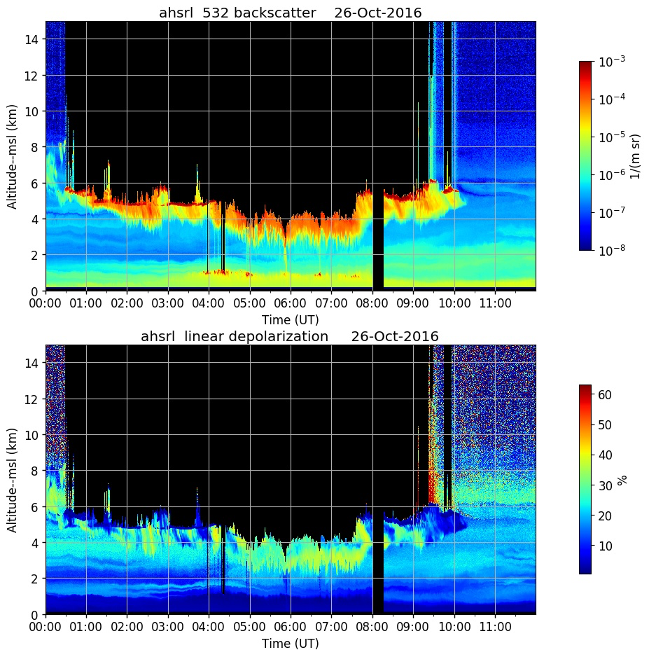
Small scale atmospheric features that last only half an hour are hard to put into forecast models, but are necessary for model accuracy. At UW-Madison, instruments using LIght Detection And Ranging, or Lidar, are developed that make highly detailed atmospheric measurements that are used in numerical model development.The Volume Imaging Lidar (VIL) utilizes a pulsed laser beam to image the three-dimensional structure of the atmosphere over time. The VIL uses computer-controlled scanning which, with continuous pulses, images a huge volume of sky at one time, allowing averaged wind measurements to be precisely deduced. The High Spectral Resolution Lidar (HSRL), which makes calibrated measurements of backscatter, can "see" even more, since the beam of light returning to the observer can be split, and backscattering and attenuation components can be compared for an accurate view of individual objects within its view. In addition, the HSRL is being developed for use in the Arctic.
